Ausbon Sargent increases conserved land in Q2C region

In 2014, Ausbon Sargent closed on conservation easements in Goshen, Wilmot and Danbury with the help of Quabbin-to-Cardigan Partnership funding.

Jillette closingThe 51-acre Jillette Conservation Easement is located in Goshen with over 815 feet of frontage on the east side of Brickyard Road.  Landowner, Bea Jillette, manages the property for timber production and her large field, with its beautiful views of the surrounding mountains, is maintained by a local farmer for hay production.  The property is highly rated for wildlife habitat and highly ranked forestry soils and is very close to over 17,000 acres of contiguous conservation land.

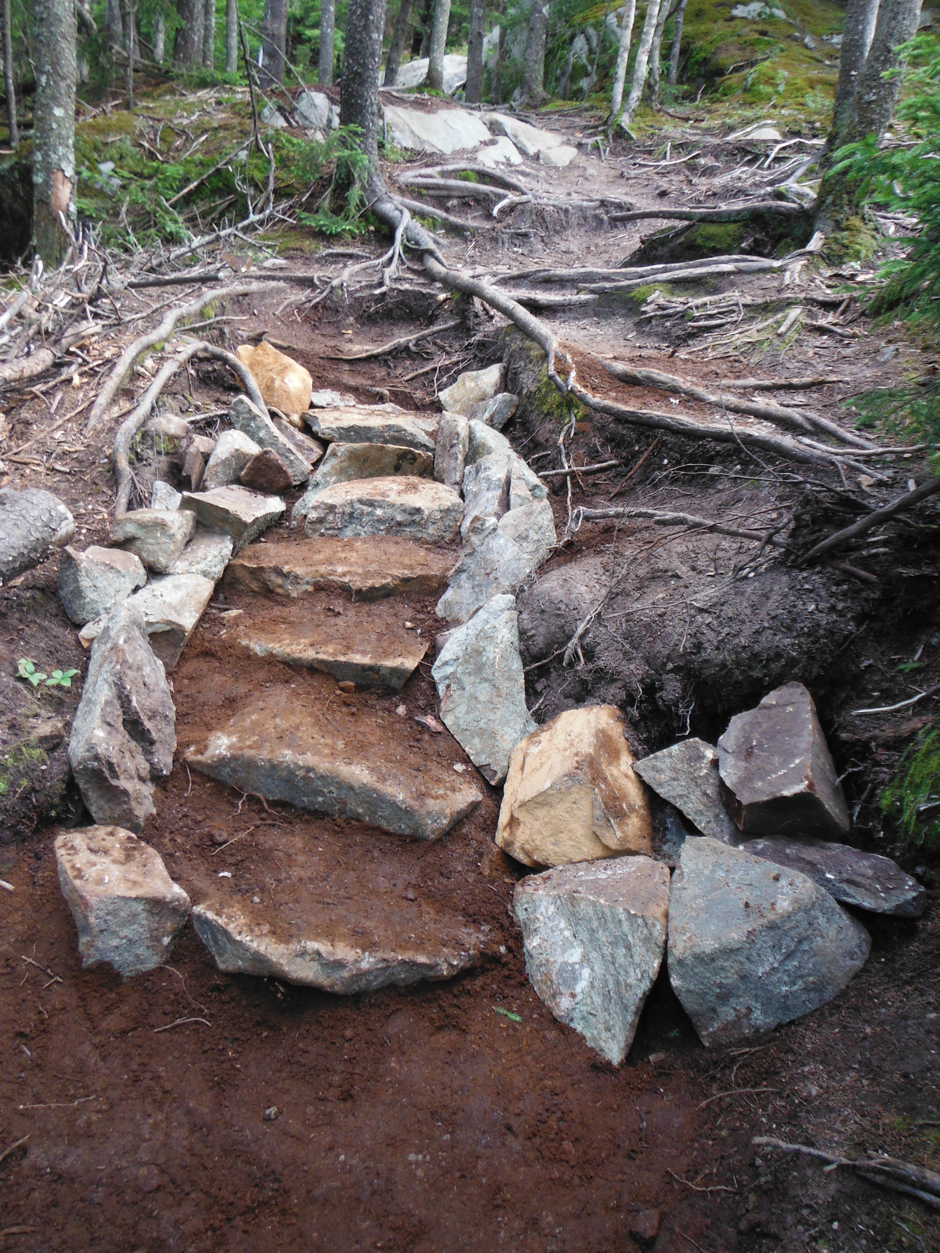
Paul and Jan Sahler placed a conservation easement on 21 acres of their 23.4-acre property in Wilmot, NH.  This property includes a maintained logging road that extends back to Cascade Brook.  This and some additional side trails now provide opportunities for outdoor recreation and for observing many forms of wildlife.Their property is adjacent to or near over 3,918 acres of other conserved land nearby.

The 159.2-acre LeBaron-Brewer Property was also conserved in Danbury, NH in 2014.  This property includes two-thirds of Severence Hill in Danbury with over ½ mile of shore frontage on Waukeena Lake. The property protects important wildlife habitat for the loons on Waukeena Lake and abundant moose.

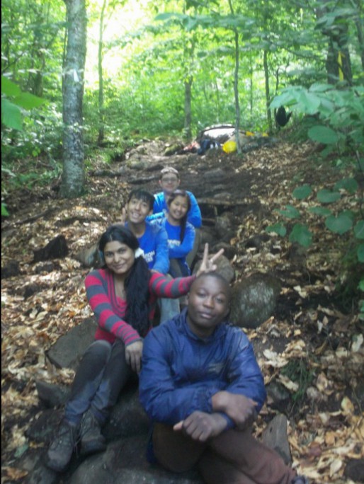
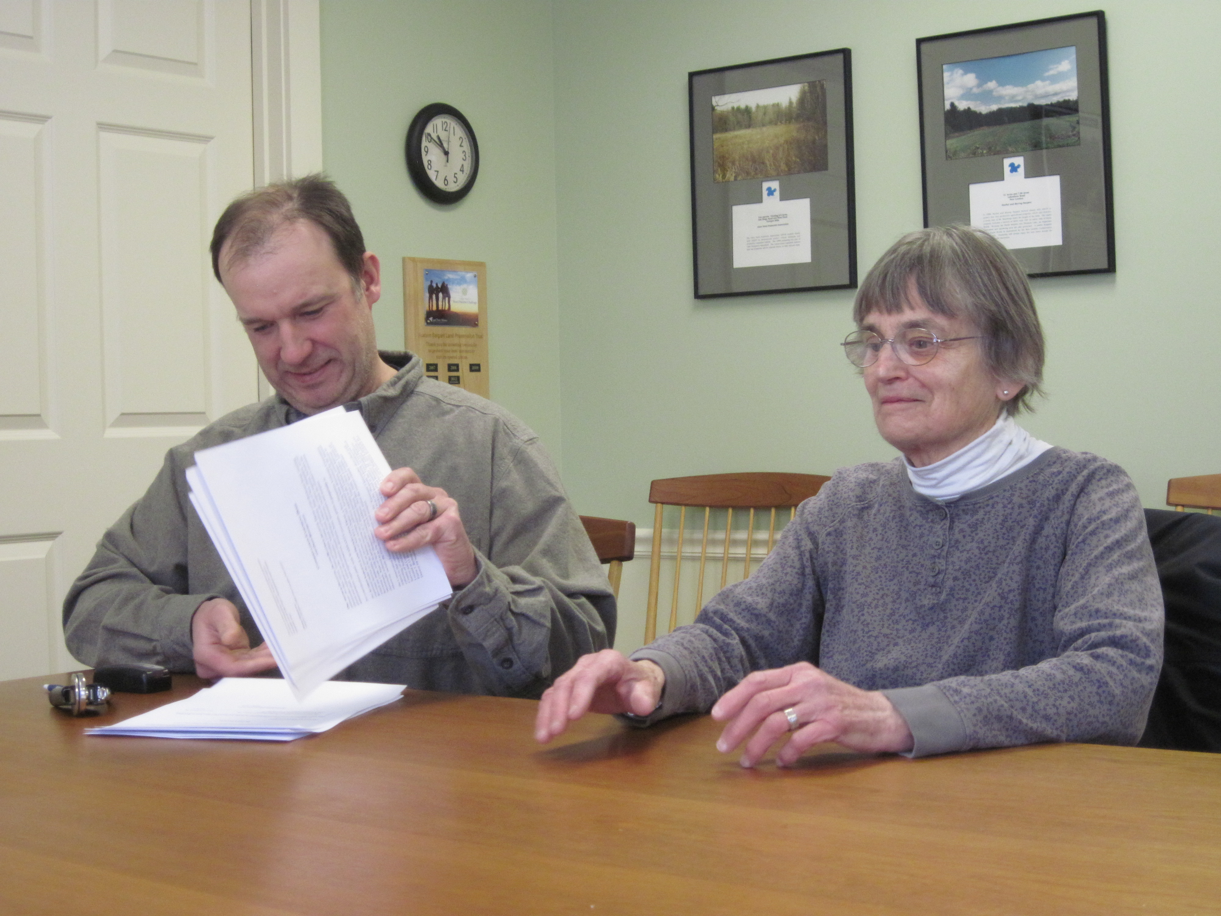
Click below for more information on Ausbon Sargent Land Preservation Trust and the above conservation lands. Photos courtesy Ausbon Sargent. Top photo – LeBaron-Brewer Property.

Ausbon Sargent News Room

Conservation of 245-Acre Forest Protects Water Quality, Recreation Opportunities in Washington

The Society for the Protection of N.H. Forests (Forest Society) and the Washington Conservation Commission have conserved a 245-acre forest above Millen Lake in Washington.

The Forest Society acquired the property from the MacNeil family, who sold the land for significantly below its market value so that it could be conserved. The property’s location made it a priority for conservation, because it links lands that are already protected from development, creating a large, contiguous block that will remain open for wildlife habitat, recreation and the safeguarding of water quality. Accessed from Farnsworth Hill Road, the property abuts the Forest Society’s Farnsworth Hill Forest, Washington’s Town Forest, the Ashuelot River Headwaters Forest and the Long Pond Town Forest.

Click below to read the full story. Photo courtesy the Forest Society.

Conservation of 245-Acre Forest Protects Water Quality, Recreation Opportunities in Washington

Sunapee and Kearsarge trails challenge Manchester youth

SCA_Manchester_SRKG_2014_crewstairsThe day the crew finished their largest staircase, they felt so proud of the work that they accomplished.  Looking back at what had to be done on the first day, they all got a little glazed over in the eyes and could not grasp the scope of the project.  As they worked day after day on the project and got to see it come together, it was easy to sense the ownership they were taking over it.  Many of the crew members started to want everything done not only well, but well to the point where it would last forever.  They wanted their stone staircase to be a sort of legacy they left behind.  When they finally did finish the staircase and had the chance to take pictures with it, there was nothing but joy and pride to be seen on their faces.

In July 2014, two crews of 5-6 high school youth from Manchester, NH completed trail work projects on Mount Kearsarge and near Mount Sunapee. The students met a variety of challenges on the trail, but accomplished a great deal toward improving public trails. The two separate projects were completed with the Sunapee-Ragged-Kearsarge Greenway Coalition and the Monadnock-Sunapee Greenway Trail Club and funded in part with Q2C Partnership.

Click below to read the full stories. Photos courtesy the SCA NH Corps.

Sunapee-Ragged-Kearsarge Greenway Project

Monadnock-Sunapee Greenway Trail Project

New maps and kiosks unveiled at Chesterfield Gorge

Construction of the kiosks — completed by Rick Contino, of Brattleboro — was funded by a $1,200 grant from the Quabbin to Cardigan Initiative (Q2C), a collaborative effort to conserve the Monadnock Highlands of north-central Massachusetts and western New Hampshire.

Click below to read the full story. Photo courtesy Jeff Newcomer, Chesterfield Conservation Commission.

New maps and kiosks unveiled at Chesterfield Gorge

Mayor-Niles Forest provides unbroken link in valuable wildlife habitat

Set on Moose Mountain, the 92-acre property is the gift of Michael and Elizabeth Mayor and John Niles, who owned the land for 30 years.

The forested parcel cloaks the west slope of this iconic ridge just below the North Peak, connecting with National Park Service lands surrounding the Appalachian Trail.

This property provides an unbroken link in valuable wildlife habitat and expands the protected high elevation lands that are key to conferring resilience to climate change. These cooler forests will become an increasingly critical refuge for birds and other wildlife.

Click below to read the full story. Photo courtesy the Hanover Conservancy.

Mayor-Niles Forest Project


Manchester youth group help improve state trails

SCA_Manchester_Kearsarge_Crew_2013_rockworkShe has never camped out before, let alone wielded an ax to cut brush all day on a mountain slope, but for the past two weeks, Manchester high school student Saraswoti Dhimal has been on Mount Kearsarge improving the trail.

She is among a group of city youths helping the state with its backlog of deferred maintenance and giving a willing arm to volunteer members of a regional greenway to improve the popular 1.8 mile Barlow Trail.

Click below to read the full story. Photos courtesy SCA NH Corps.

Manchester youth group help improve state trails.

Northfield land protected on national scenic trail

The room was all smiles as longstanding efforts to protect 188 acres around the Northfield route of the New England National Scenic Trail were formally completed at the Franklin County Registry of Deeds. Signing for the town, Selectwoman Bonnie L’Etoile described the day as “a perfect example of how team work with a common goal can reach results that we can all be proud of. This is a successful culmination of years of work to protect lands in Northfield for the future of our town.”

Continue reading

Sixty-nine Acres on Valley Road in Andover Conserved

In November, 2010, as we were well along the process of putting our land into conservation, we sat on our back porch looking toward Sucker Brook, which runs from Highland Lake in Andover to Webster Lake in Franklin, and watched a small white ermine cavorting across the stream. His bright white coat showed up beautifully against the November russets and browns, but he would be invisible after snowfall. As we watched we both said, “That wee beastie is why we are putting this land into conservation!”

Click below to read the full story (find it on page 9 of the newsletter)

Sixty-nine Acres on Valley Road in Andover Conserved